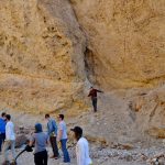
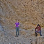
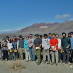
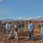
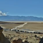
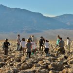
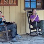
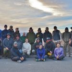
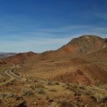
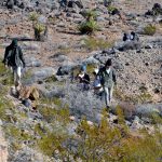
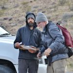
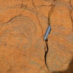
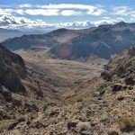
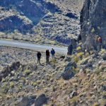
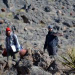
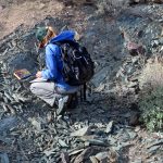
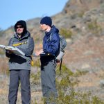
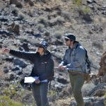
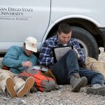
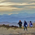
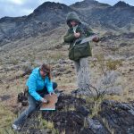
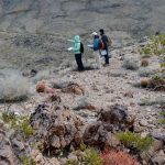
The 2017 Geol 508 (Advanced Field Methods) class enjoyed 7 days in Death Valley and mapping in Emmigrant Pass, as the first of 3 field trips. The students were responsible for mapping the lower to middle Cambrian rocks that are folded and faulted at Emmigrant Pass. They worked to unravel the complex history of the area. A big thanks to Rob Hawk for all the great photos!
- Checking out a detachment fault
- Jenn and Matt get a close up of the detachment fault
- Group shot with Turtle Back
- Standing on an off-set Cinder Cone
- Bad Water
- Devils Golf Course
- Mia and Jenn enjoy some popsicles
- Zabriskie Point
- Emmigrant Pass – mapping area
- Students at work
- Dave checking Wasim’s map
- Stromatolite
- View of field area
- Jenn, Matt, and Heather get a closer look at a fault
- Wasim and Keith at work
- Gathering data
- Jacob and Peter working it out
- Jimmy and Michael working it out
- Matt and Steven hard a work
- Jenn, Xiomara, and Mia walking to the next ourcrop
- Kristan and Caleb collecting data
- Faith, Matt, and Steven discussing a contact