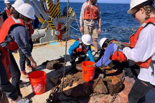
Recent storms have caused dramatic landslides up and down the coast of San Diego. To better understand how these landslides connect with faults under the ocean, San Diego State University students are currently on a research cruise around San Diego and northern Baja, Mexico.
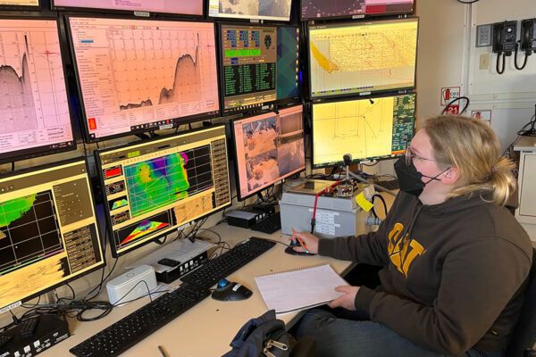
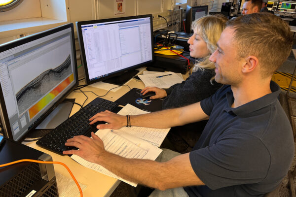
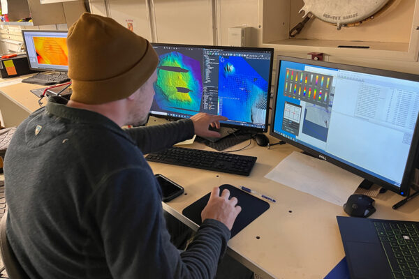
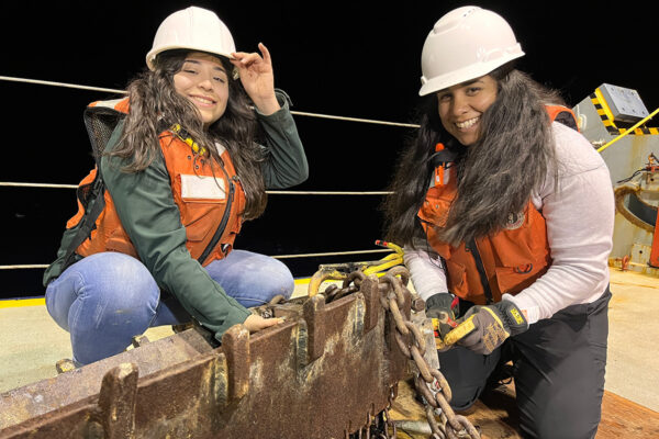
Six undergraduate geology majors, led by geology professor Jillian Maloney and Andrea Fabbrizzi, a geophysics student in SDSU’s joint doctoral program with UCSD and Scripps Institution of Oceanography, are using sonar to collect data about earthquakes and landslides offshore. Their project will further clarify the history of regional faults and inform earthquake hazard assessments for both San Diego and Tijuana.
The land-based portions of the San Andreas fault zone are well-documented, but how the San Andreas-adjacent seafloor under the Pacific Ocean moves and deforms each year is more of a mystery. Thus, scientists have a hard time predicting how likely a large earthquake, resulting submarine landslides and tsunamis might be and how much danger they might pose to coastal communities.
The SDSU team is using high-resolution equipment mounted to the bottom of the Research Vessel Sally Ride to map roughly 1600 nautical miles.
Upon their return to land, the students will use the data as part of their thesis projects.
You can follow along with the project on Instagram by following @sallyride2303