 |
The societal benefit of earth observation: A South African contextWaldo Kleynhans Meraka institute Wednesday, February 19th, 2014 |
||
|
|||
|
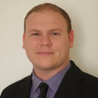
Abstract This talk will focus on some of the activities currently being done at the Remote Sensing Research Unit of the Council for Scientific and Industrial Research (CSIR) in South Africa. Remote sensing satellite data provide researchers with an effective way to monitor and evaluate land as well as ocean areas. Examples will be shown of (1) how moderate-resolution optical imagery is used for land cover change detection using time-series analysis with particular emphasis on the detection of human settlement expansion, (2) how satellite Synthetic Aperture Radar (SAR) imagery is used for Maritime Domain Awareness (MDA) to detect pollution, bilge dumpling as well as monitoring of ships involved in malicious activities, and (3) how satellite SAR imagery is used to detect land surface subsidence specifically in the context of mining activities. Biography Waldo Kleynhans received a B.Eng., M.Eng. and Ph.D. (Electronic Engineering) from the University of Pretoria, South Africa as well as an MBA from Heriot-Watt University, Scotland. He is currently a principal researcher with the Remote Sensing Research Unit at the Council for Scientific and Industrial Research in Pretoria, South Africa and is also affiliated with the University of Pretoria, South Africa. Before joining the CSIR in 2008, he worked in the telecommunications industry as an RF consultant. His research interests include remote sensing, time-series analysis, wireless communications, statistical detection and estimation theory as well as machine learning.
|
|||

