

Using an Integrated Surficial and Subsurface Approach to Understand Periods of Activity in the Dunes of Southern Bouquet Table, White River Badlands, South Dakota, USA.
Michael Levenson
MS Candidate
Advisor: Dr. Allen Gontz
Thursday, May 6th, 2021
10:45 am
watch Michael’s talk
Abstract
Aeolian systems provide insight into changes in local and regional climate. Periods of activity generally correlate to times of increased aridity and/or vegetation loss and landscape destabilization. Understanding the timing and intensity of aeolian activity improves reconstruction of regional and local climatic impacts. The White River Badlands (WRB) aeolian dunes are located on the western section of the northern Great Plains in southwest South Dakota. Vegetation-stabilized aeolian deposits, including parabolic dunes, blowouts and sand sheets, are found on mesas locally known as tables. On Bouquet Table (BT), previous work has identified a complex of dune forms that have been episodically active since the Last Glacial Maximum. Dates of activity are constrained through previously-reported optically stimulated luminescence dating (OSL) and suggest stabilization ages that range from c.a. 16 kya to modern.
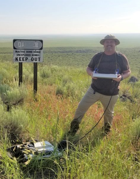
A small subset of southeastern BT was surveyed using high-resolution, UAV-based photogrammetry and ground penetrating radar (GPR). UAV-based imagery was used to create digital elevation models (DEM) and orthophoto mosaics while the GPR employed to image the subsurface architecture of dune systems. GPR surveys were primarily acquired along the axes of blowouts and parabolic features, as well as locations of previously reported OSL samples. Surficially, individual dune forms delineated using DEM slope and curvature maps generated from ArcGIS zonal statistics. These interpretations resulted in discrete color maps indicating the relative ages of individual dunes in the system.
The integration of previous work with the new subsurface GPR facies models with surficial morphology using high-resolution, UAV-based photogrammetry is designed to provide a more comprehensive geomorphic and palaeogeographic reconstruction. Results suggest a complex relationship between overlapping and interlocking parabolic dunes migrating within a sand-starved system progressively to the southeast.
While data analysis and integration are ongoing, early outcomes show promising results. A complete analysis of surficial morphosequences and subsurface architecture will provide a palaeogeographic reconstruction of the dune field at times of stabilization that can be correlated to OSL absolute ages. Ultimately, this approach will be extrapolated from BT to surrounding tables in the WRB in an effort to explain the relationships between aeolian activity, climate and local forcings.